Splash247: Ship crews reach out for support as Red Sea GPS spoofing climbs to danger levels

Tore Morten Olsen, president of maritime at Marlink, has signals advice for ships entering high-risk areas.
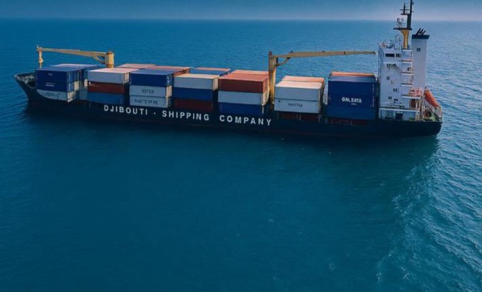
The spike in physical attacks against shipping by Houthi rebels in the Red Sea has been mirrored by an increase in jamming and spoofing of GPS signals, effectively removing position, navigation and timing information from the control of the ship’s navigators.
Examples have included vessels travelling at supersonic speeds or positioned on land, sometimes in circles surrounding targets that bad actors are trying to protect.
As well as reducing the vessel’s ability to navigate, these RF-cyber attacks can impact mandatory GMDSS safety services, potentially removing the ability of ships to send a distress call.
Marlink provides dedicated telephone support to customers around the world and the growth in support requests this year has been dramatic.
In July 2024, the Marlink help desk might receive one call every two weeks from clients concerned that their GPS was unavailable. By mid-July 2025 we received separate reports from more than 150 vessels in a single day.
Marlink’s centre of excellence at its Eik teleport is advising on manual work-arounds to vulnerable users and the Maritime Engineering-CTA team is also developing products to make GNSS communications much more resilient.
Given the distance from geosynchronous orbit to the earth’s surface, most satellite signals are relatively weak by the time they arrive at the ship, making them relatively easy to intercept.
Even modern LEO satellites, including Starlink, rely on GPS for position and timing and the same is true for Inmarsat-C which carries GMDSS signals.
Most modern positioning receivers will have the option to move between GPS, Beidou, Glonass or Galileo so the best immediate advice for ships entering high risk areas is to compare suspect readings on one system to other signals.
The natural response to an attack is to turn everything off but that isn’t necessarily the right solution. If a signal has successfully been spoofed it is already effectively offline because the spoofed location is likely to be inside a geofenced region where genuine signals cannot be received.
Another issue to be aware of is that maritime satellite antennas will attempt to lock on to the best available signal in their sailing area, transmitting a valid position when they do so.
By proactively monitoring and validating positioning data from multiple sources, Marlink can quickly detect when a vessel is travelling at impossible sailing speeds or has GPS signals coming from land. Its engineers can then reduce the number of satellite or beam switches except those that are strictly necessary.
Longer term, Marlink is developing solutions based on analysis of the signals received by the ship allowing users to determine whether signals are coming from space or from land, and therefore which is more likely to be real.
Related Posts